Bar-K Site
Locals
Quick Topics
Fun
Links
Tools
Weather
|
|
Bar-K Site |
||||||||||
|
Locals |
|
||||||||||
|
Quick Topics |
|
|
|||||||||
|
Fun |
|||||||||||
|
Links |
|
|
|||||||||
|
Tools |
|||||||||||
|
Weather |
Welcome To Bar-K Ranch ..... a small mountain community at approximately 8600 ft in the Rocky Mountains of Colorado. Read More
![]()
Discuss Bar-K Ranch QT
Bar-K Ranch Colorado
About Us
![]()
![]()
![]()
Bar-K Ranch is a small mountain community at
an elevation of approx.
8500 ft in the Rocky Mountains of Colorado. (Scroll Down)
.jpg)
|
Our
close neighbors to the east include
Jamestown,
Niwot,
Longmont, and
Boulder.
Ward,
Gold Hill,
Nederland,
Central City, and
Black Hawk are to the south, with
Allenspark, Ferncliff,
Estes Park and
spectacular
Rocky Mountain National Park
to the northwest. A drive along the
Peak to Peak
Highway,
provides a breathtaking view of Colorado scenery including:
Longs Peak (14.225') Mount Meeker (13,911') Pagoda Mountain
(13,497') Chiefshead (13,579') Mount Alice (13,310')
St. Vrain Mountain (12,162')Copeland
Mountain (13,176') Ogallala Peak (13,138') Sawtooth Mountain (12,304')
Mount Audubon
(13,223')
Pawnee Peak (12,943')
shown above, Mount Toll (12,979') Sugarloaf Mountain (8,917') and Flagstaff
Mountain (6,872') Questions /
Comments About Website Please Contact: |
||
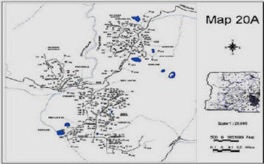
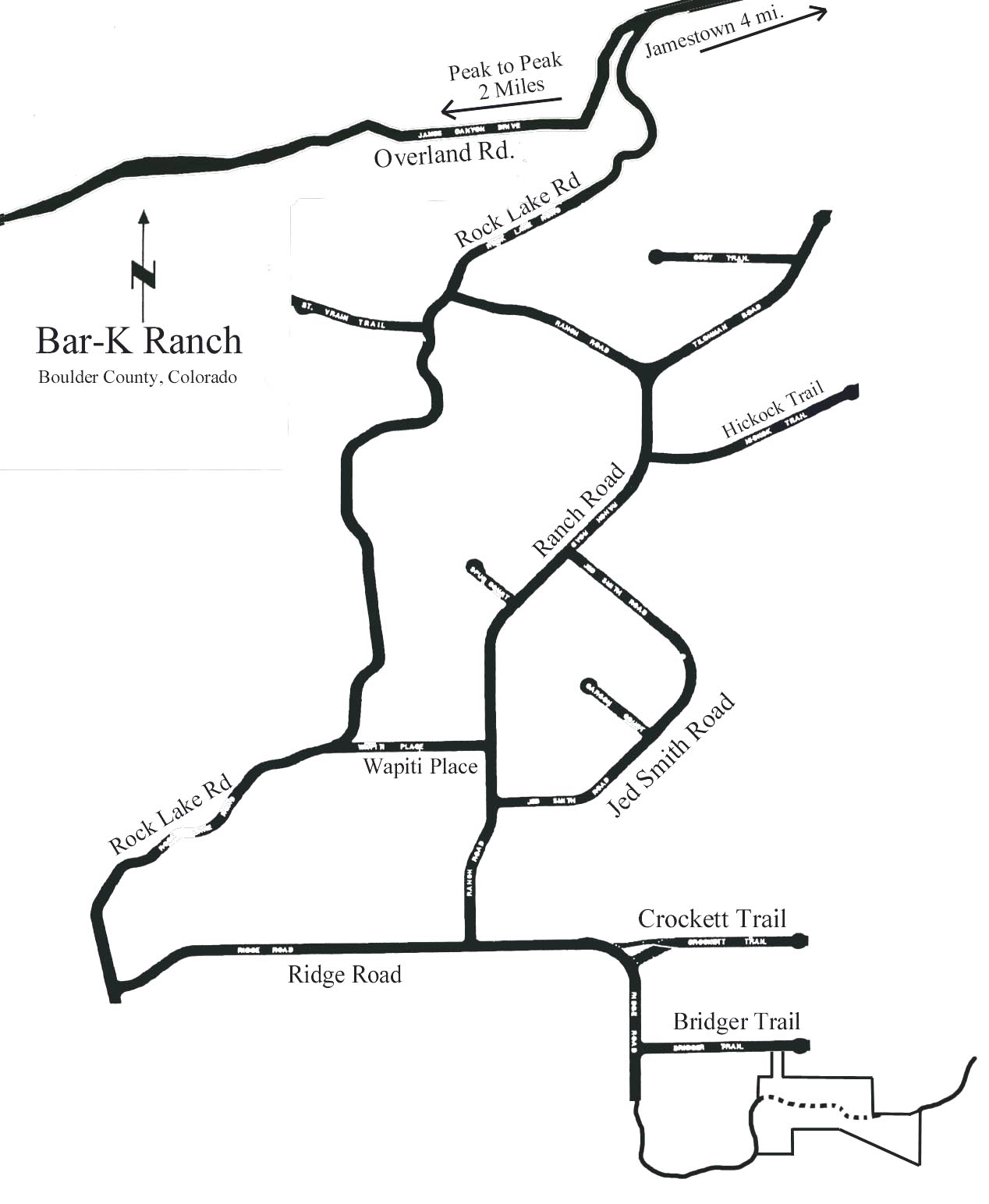
| Click Map To View Full Size Version | ||
 |
 |
|
| Download this PDF Map Here Download this PDF Map Here | ||
|
(Requires Adobe®
Reader) |
||